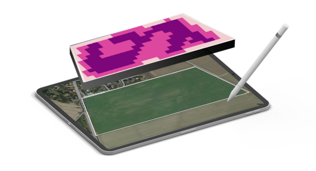
Customized application for effective plant development
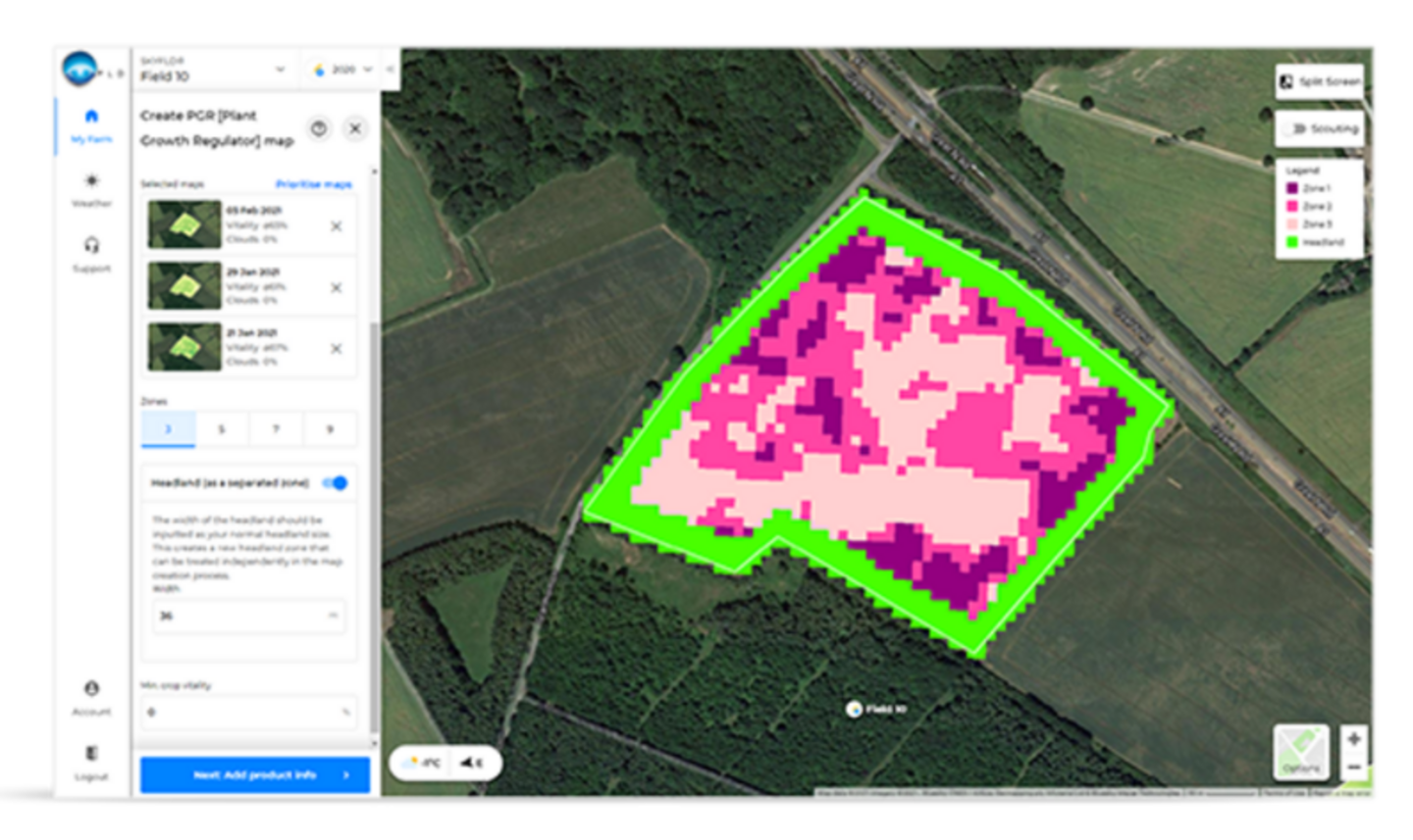
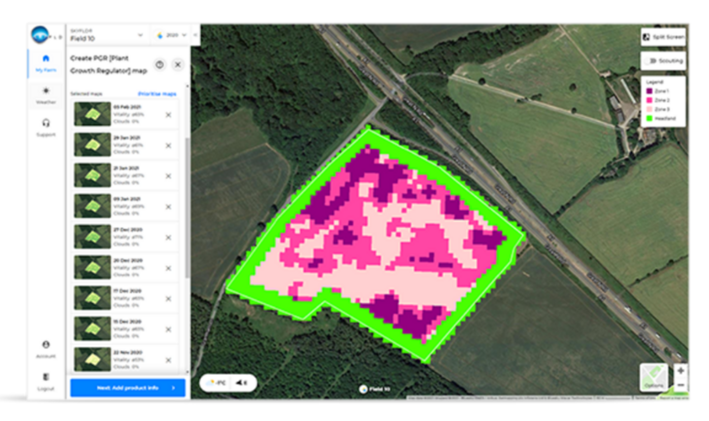
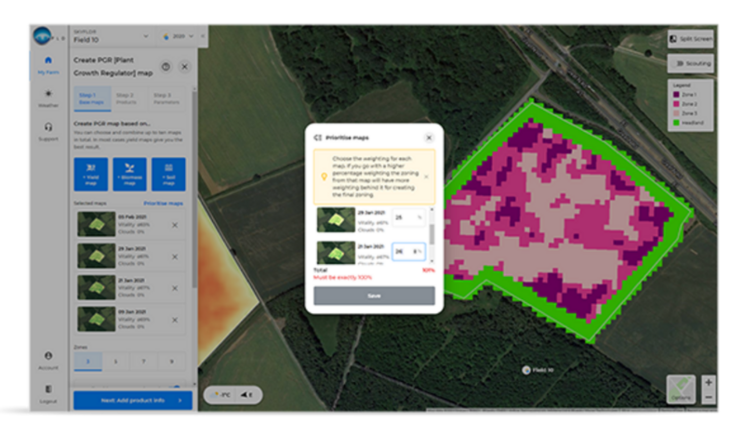
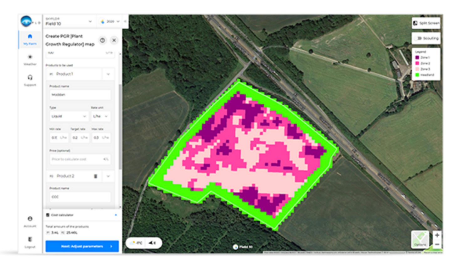
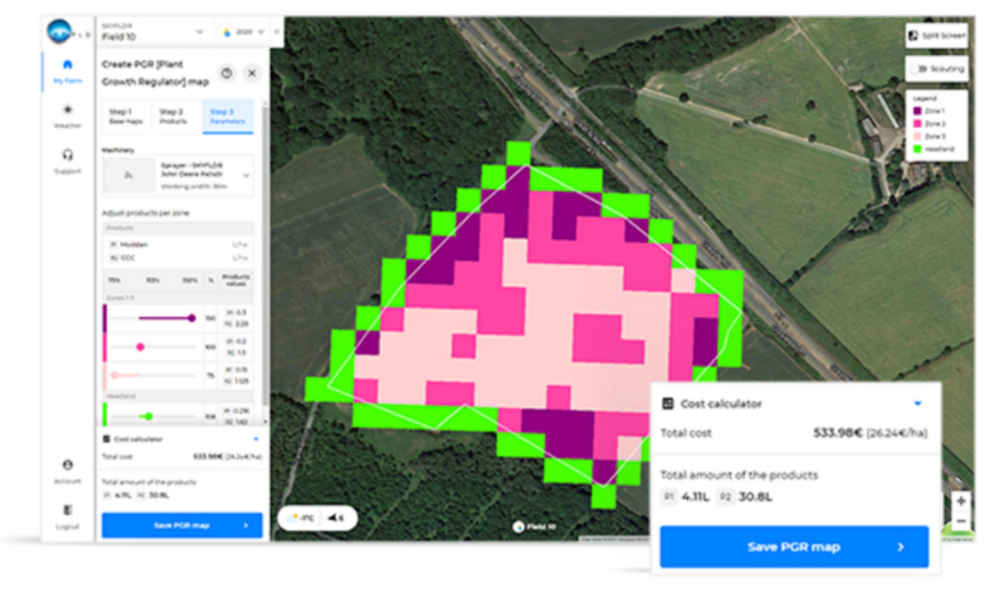
With SKYFLD PGR maps you ensure that each zone of your field receives the optimum application rate of PGR. Prevent scorch from over application and ensure you keep you crops standing. Using satellite imagery & uploaded soil and yield maps, SKYFLD enables users to identify different soil zones within their field(s). Quickly and easily create and export variable rate PGR maps based on up to ten base maps - personalised application maps based on your experience, field conditions, and product selection. With SKYFLD PGR maps you can manage the PGR rate delivery to every zone within your field to maximise the output of your crop, whilst ensuring you don’t waste or place in puts in the wrong zone.

Saving of
PGR

Perfect
zone maps

Improved
yield quality

Homogeneous
stocks
Creating PGR maps is easy
01
Base map
stacking
Select the base
map(s) for
the field zoning
02
Enter
parameters
Add your water volume,
Products (up to 3), and
application rates.
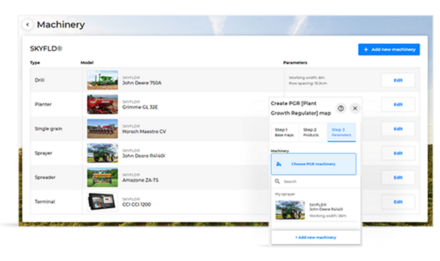
03
Get
started
Select your machinery to
adapt the map to the
machinery specifications
Ready to use in 15 minutes:
Get 365 days for free
- Reduce farm input costs
- 3-year Biomass history as standard
- Optimize your crops
